Choose the ramp and check its access and trailer arrangements before matching a launch to the tide. A high-water prediction alone cannot establish a safe route through the inlet.
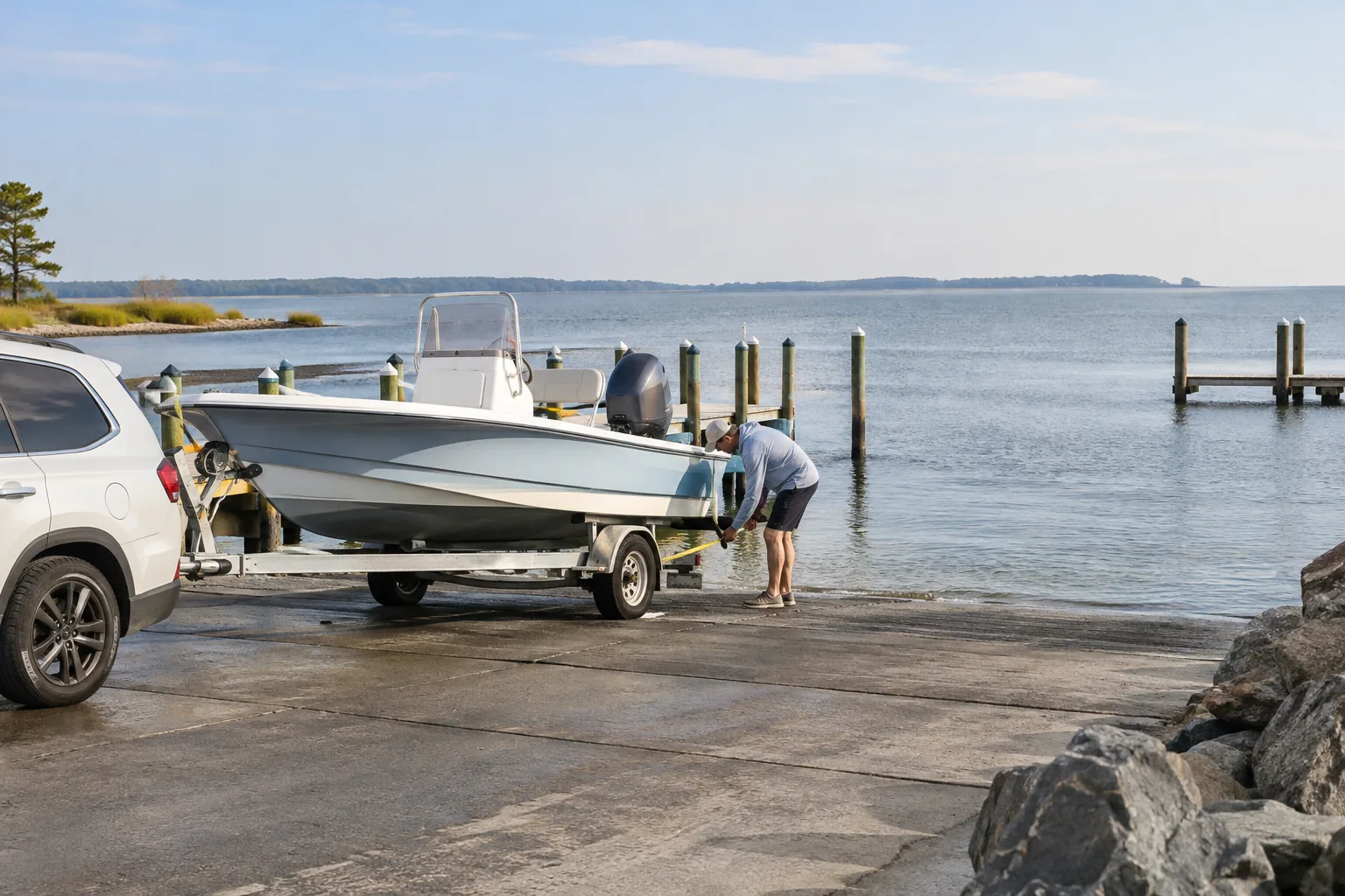
Two town ramps with different arrangements
| Ramp | Planning information |
|---|---|
| 64th Street and Seabay Drive | Town information lists free launching and separate paid truck/trailer parking. Check current parking terms and space requirements. |
| Caribbean Drive | Town information describes seasonal gate-pass requirements and no on-site parking. Check the current access period and arrange parking separately. |
Source: Town of Ocean City public boat ramp directory. Access rules and rates can change; use the directory before towing. Free launching does not mean free or unrestricted parking.
What a tide height does not establish
The Ocean City Inlet table gives predicted water level relative to MLLW. It does not certify water depth under your vessel, current channel clearance or ramp suitability. Charted depth, vessel draft, waves, actual water level and current notices all matter.
Do not treat a quoted channel depth in a directory as a clearance guarantee. Conditions and sediment can change, and a directory is not a real-time survey of your intended route.
High water is not automatically slack current
Turning water level and turning current are different. Use appropriate current and navigation information where required, rather than planning an inlet passage solely around the high-tide minute. See the station and current comparison.
Before towing or launching
- Confirm the ramp’s current access requirements.
- Arrange legal truck and trailer parking, including the return time.
- Check charts, navigation notices and vessel requirements.
- Check weather, wind and relevant alerts.
- Match tide information to the actual waterway.
- Have an alternative if launching or retrieval is unsuitable.
Plan retrieval as well as departure
Write down your return window and the conditions expected then. A ramp workable at launch can be different on return. Leave enough flexibility to change the outing rather than treating the selected tide as permission to proceed.
Sources
The town ramp directory identifies local facilities. NOAA’s tide and current guidance explains the distinction between prediction types. This independent guide provides no navigation clearance.
Continue planning
If you plan to fish from land instead of launching, compare the fishing piers and public-access guide. It separates bayside public areas from the paid inlet pier and identifies the licensing questions to check before a visit.