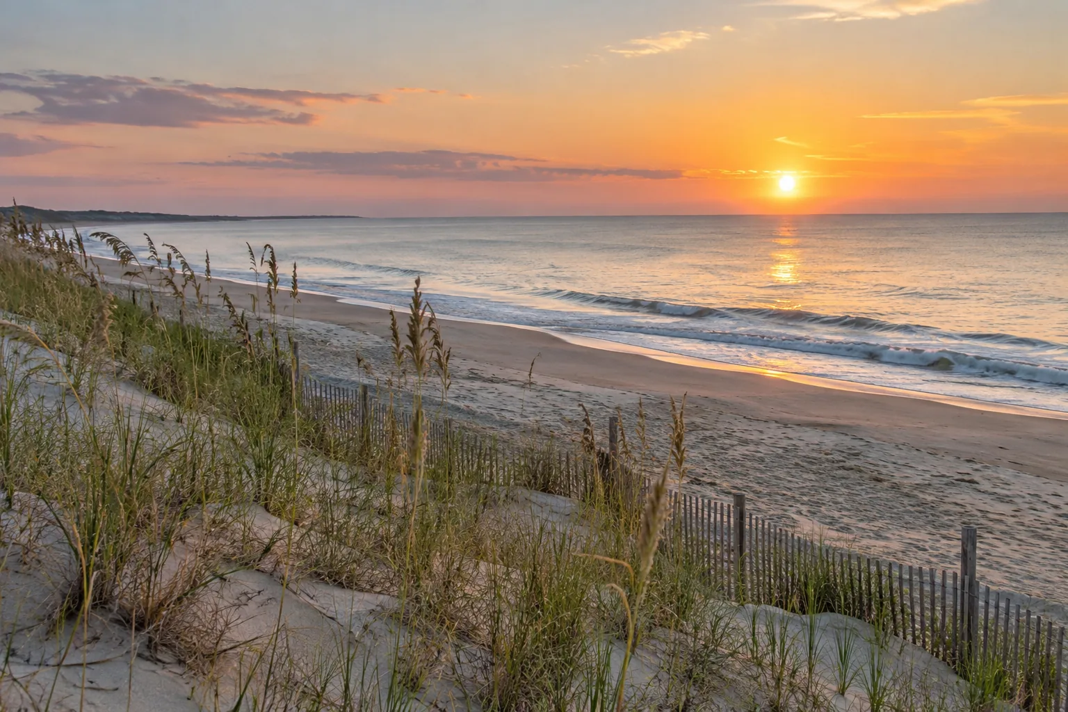
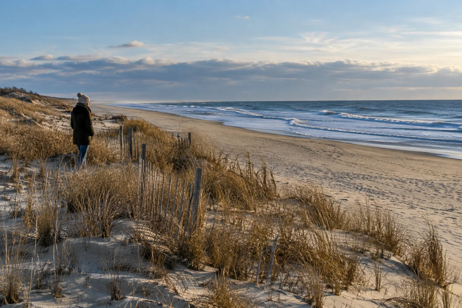
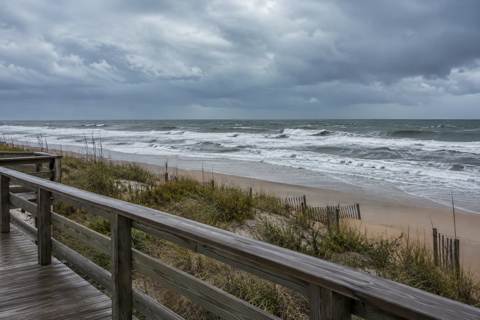
An unusually high astronomical tide can reduce the margin before water reaches low-lying areas. It is still different from a forecast of storm-driven water levels or flooding at a particular street.
Separate three kinds of information
| Information | What it answers |
|---|---|
| Astronomical tide prediction | The expected tide cycle at the named station. |
| Observed water level | What an instrument measured at a location and time. |
| Weather and coastal flood forecast | Potential impacts from weather and water levels in a forecast area. |
What “king tide” means in a trip plan
The phrase is often used for exceptionally high predicted tides. It does not provide one universal flood threshold for every property or road. Read the dated prediction and height reference, then check official forecasts for expected impacts.
A high value in feet MLLW is not the same as feet of water above a road. Different vertical references and local ground elevations must not be mixed.
Check official alerts separately
Use National Weather Service Ocean City forecasts and alerts before travel. Follow local road closures and instructions. Wind, atmospheric pressure and waves can raise or lower actual water relative to the astronomical prediction.
A flooding-aware visit checklist
- Check the date and station of the tide information.
- Read current coastal flood and weather alerts.
- Review access and return routes, especially low-lying areas.
- Move plans to dry public routes when access is uncertain.
- Do not drive through flooded roads or approach high water for a photograph.
Keep records comparable
If comparing a past event with a future visit, label whether each value is a prediction or observation. Use matching units, datum and location. A dramatic photograph without a date or station is not a usable measurement.
Related guidance
Read storm surge and nor’easter planning for weather-driven water levels, the chart-reading guide for MLLW, and the dated inlet predictions for the astronomical cycle.