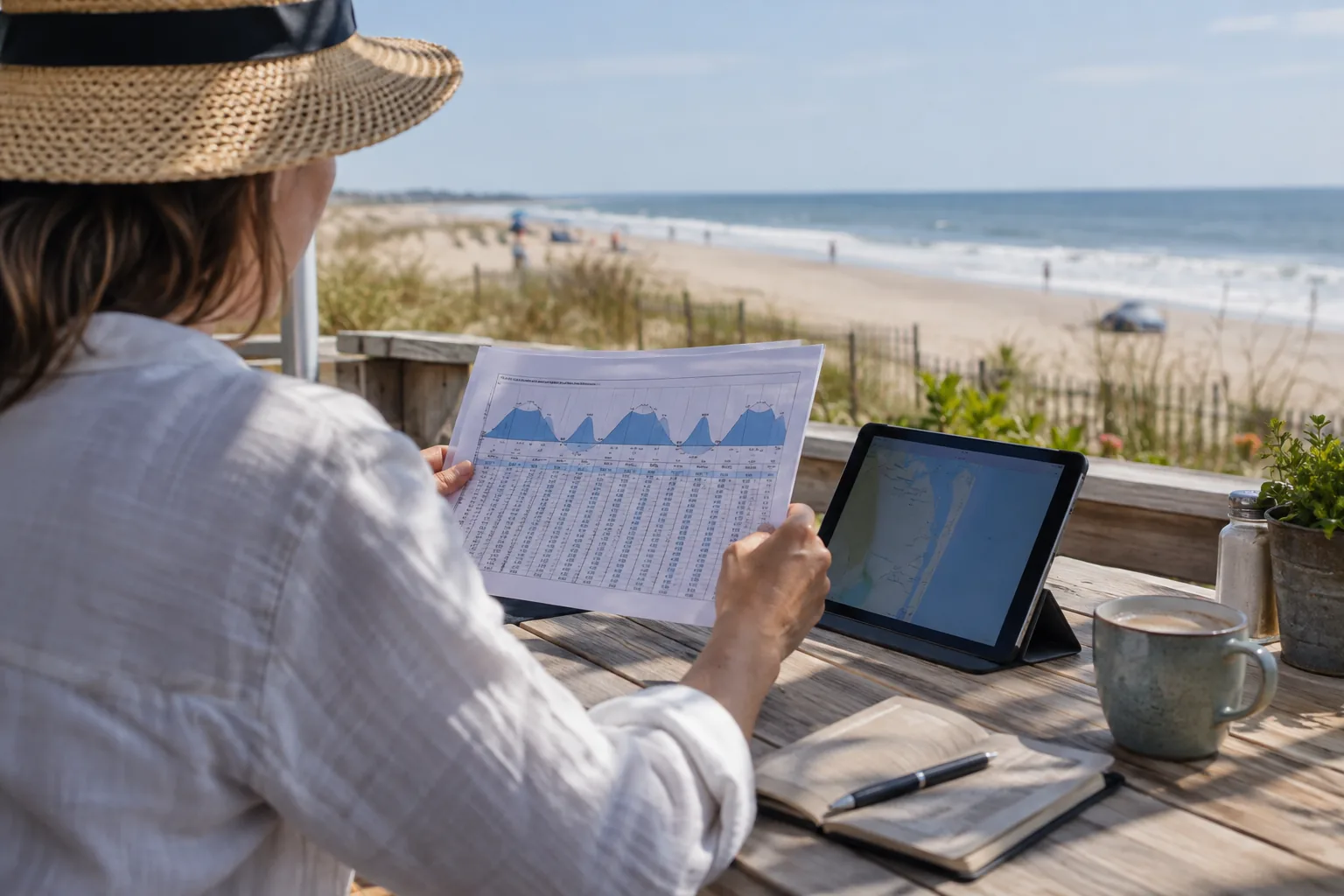
An inlet tide time should not be shifted by a fixed number of hours and reused for every Ocean City bay-side destination. First identify the waterway and the station that represents it.
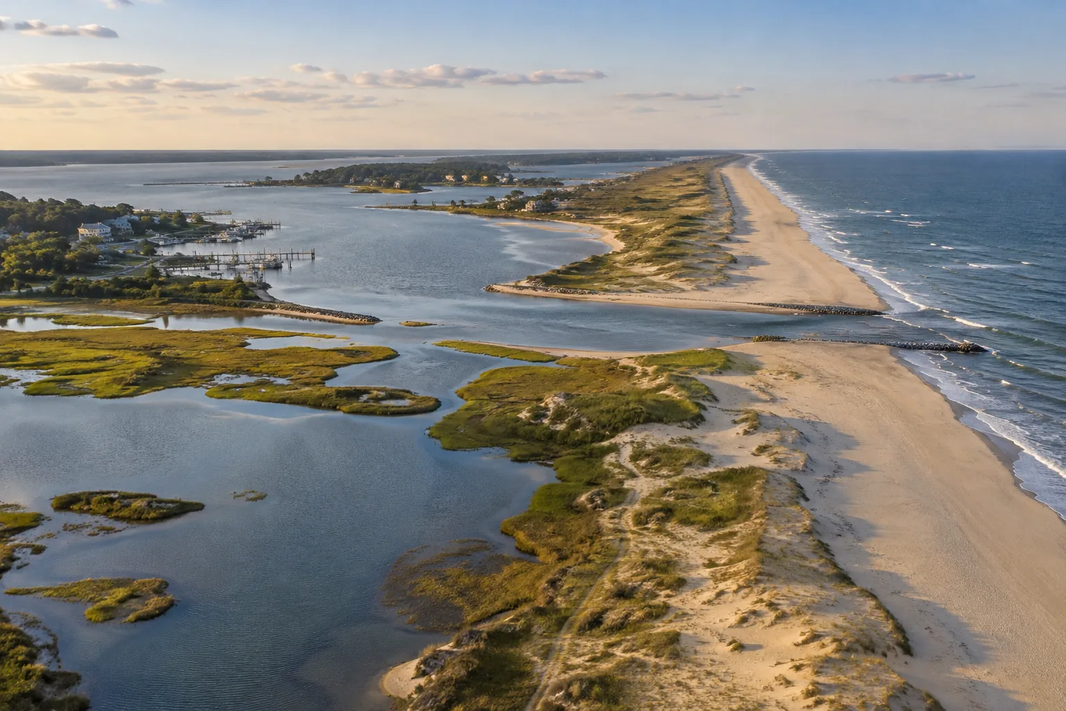
Separate the destinations
Ocean City’s oceanfront, inlet and coastal bays are connected, but they are not one interchangeable prediction point. Channels, shallow areas and the shape of a lagoon can affect how the tide reaches a location. A nearby station can be useful context without being an exact replacement for your destination.
The station names matter
| NOAA station | Official name | Use in this website |
|---|---|---|
| 8570283 | Ocean City Inlet | Source of the displayed tide tables. |
| 8570280 | Ocean City Fishing Pier | A different station; not another name for 8570283. |
| Other bay locations | Match the relevant official station | Check location-specific information before applying inlet times. |
Why a universal bay delay is misleading
A single “two-hour delay” can hide differences between locations and tide events. Do not treat it as a navigation or fishing rule. Compare predictions for matching dates, time zones and units at the two relevant stations, where suitable predictions are available. If no suitable local prediction is available, acknowledge the gap rather than inventing an offset.
Water level is not current speed
High and low tide are turning points in vertical water level. Current is horizontal movement, and its timing can differ. A high tide at the inlet does not automatically mean slack water at a bridge, channel or fishing position. NOAA’s tide and current guidance explains this distinction.
Destination worksheet
- Name the dock, beach, inlet position or launch ramp.
- Find the official prediction point and check its map location.
- Record the local date, station, time zone and vertical datum.
- For boating, add charts, weather, current information and local notices.
- For a shore outing, check the actual access route and return options.
Continue planning
Use the inlet date finder for station 8570283, the ramp and navigation guide for launch planning, and the crabbing guide for coastal-bay activity checks. The NOAA Tides & Currents website provides official station information.