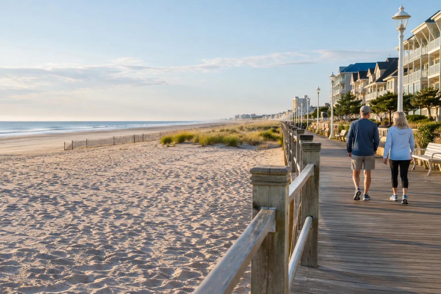
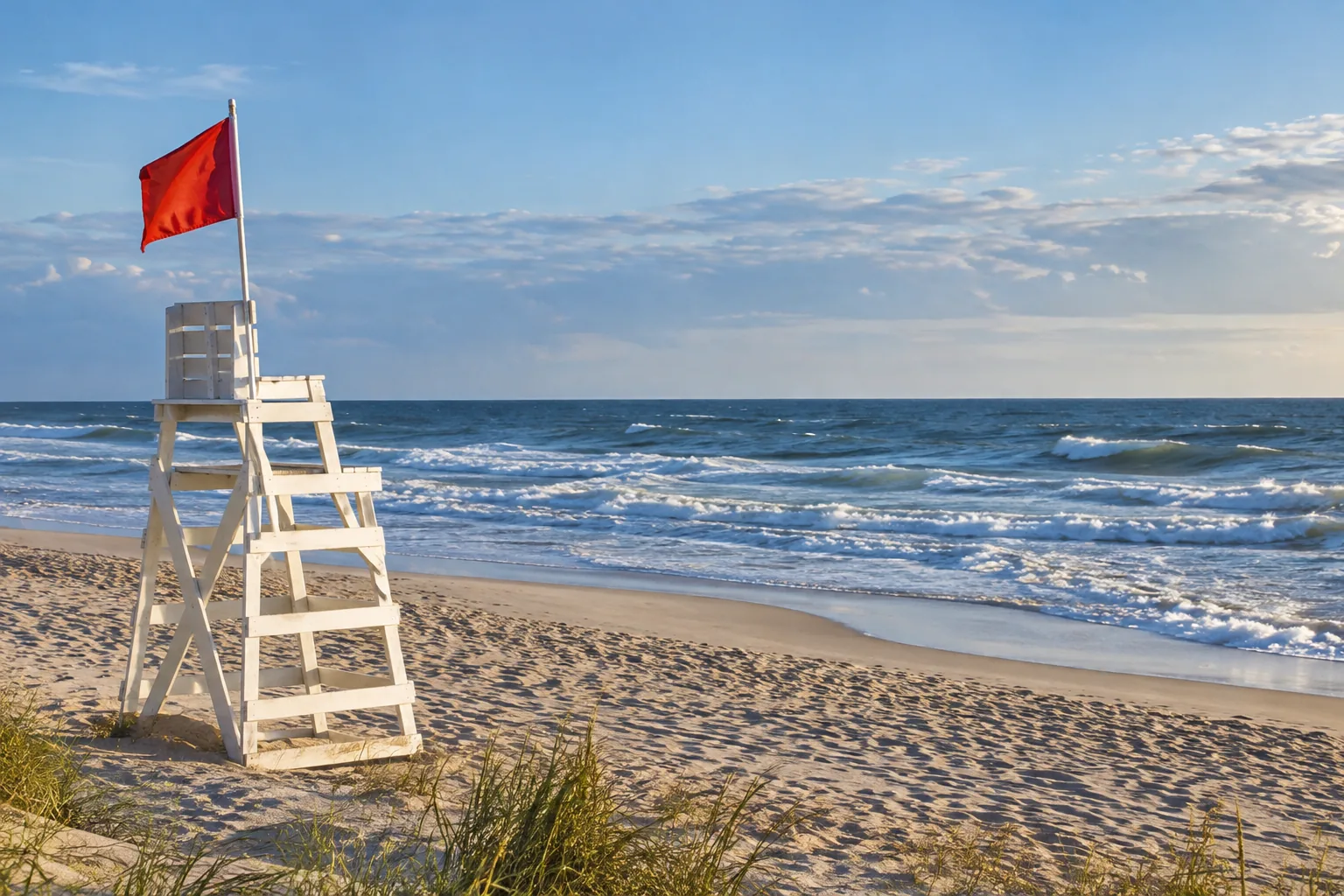
An Assateague outing needs more than a tide time. Identify the part of the island you will visit, check park access and wildlife rules, and choose a shoreline route with a safe return.
Choose the destination before the tide station
Assateague’s ocean-facing beach and bay-side areas are different settings. The Ocean City Inlet prediction is useful regional context, but it should not be treated as an exact prediction at every place on the island. Find a suitable official prediction point for the destination and read its location, date and time zone.
Tide information does not open an access zone
For beach driving, consult the National Park Service over-sand vehicle information. Permits, zone availability and vehicle requirements apply independently of a favourable tide. A low-water prediction does not override a closed zone, capacity restriction or posted instruction.
For a walking visit, use established access and dune crossings. Decide how you will leave if water or waves reduce the beach width. Do not make your return depend on a route staying dry until the next low tide.
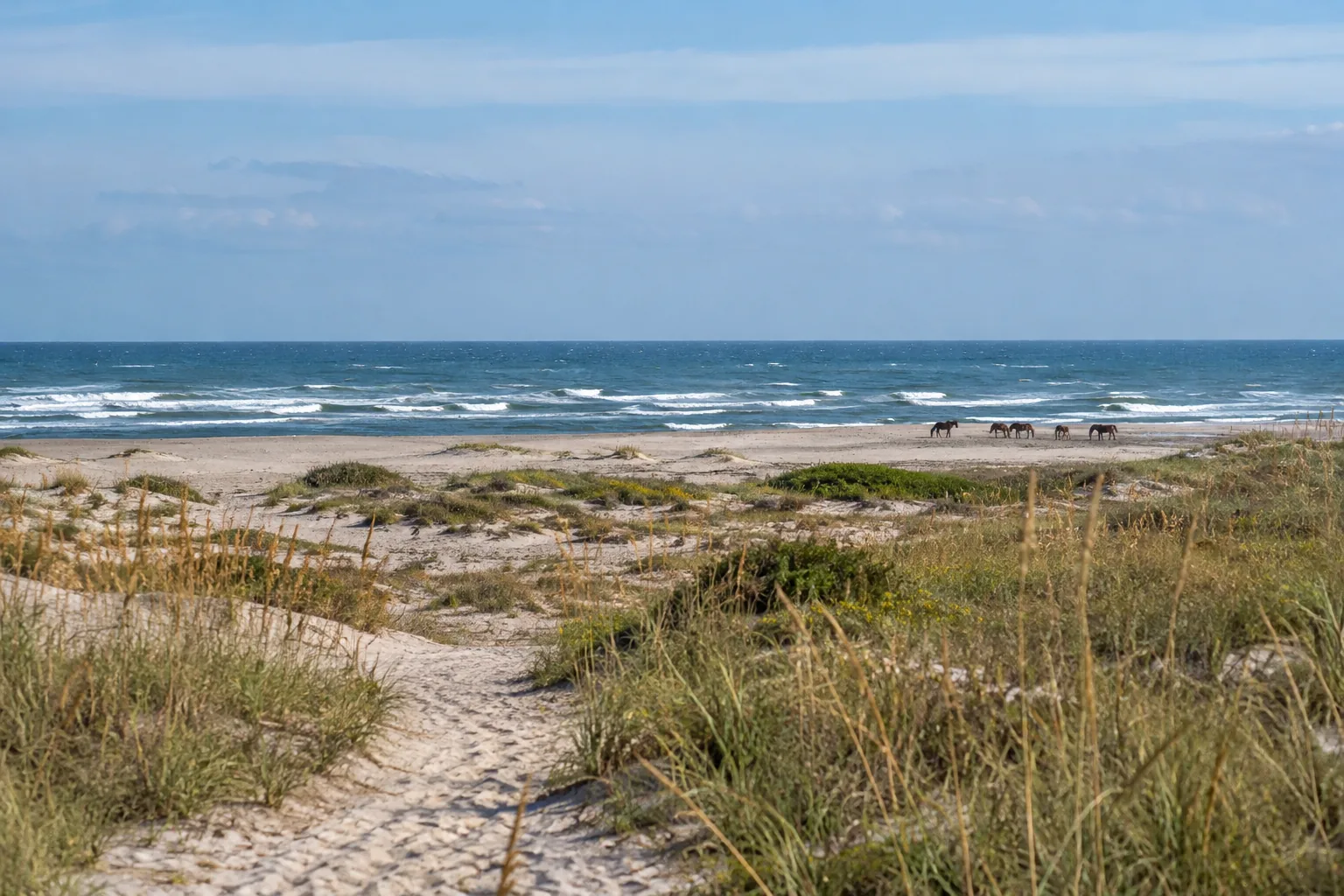
Watch horses from a distance
Follow NPS wild horse safety guidance: keep at least 40 feet away and do not feed or touch the horses. Use a zoom lens rather than approaching for a photograph. If a horse moves toward you, create space rather than trying to hold your position.
A visit checklist
- Exact destination: ocean beach, bay area or permitted driving zone.
- Current park access status and any required permit.
- Location-appropriate tide information and local date.
- Weather, surf and daylight for the return.
- Established route and an alternative if the shoreline narrows.
- Wildlife distance and secure food or belongings.
Avoid three misleading shortcuts
| Shortcut | What to do instead |
|---|---|
| “Ocean City high tide applies everywhere on the island” | Check the specific destination and station. |
| “Low tide means the driving zone is open” | Check the park’s current access information. |
| “The horses are tame enough for close photos” | Follow the park’s distance and no-feeding guidance. |
Continue planning
Use the inlet-versus-bay guide to understand station selection, low-tide shoreline planning for a walking route, and the photography guide for a dry-ground camera position. For park rules, the official Assateague Island National Seashore website is the source to follow.
Choose the information for your part of the island
| Destination | Information to check |
|---|---|
| Ocean-facing beach walk | The exact beach access, a suitable official tide-prediction point, surf and the return route. |
| Bay-side outing | The specific bay location and local water-level information; do not add a fixed inlet delay. |
| Over-sand vehicle trip | NPS permit and access-zone information before using any tide window. |
Use the Ocean City Inlet table as labelled regional context while checking the destination. For seasonal comparisons, the water-temperature guide also identifies its inlet location; those averages are not measurements at an Assateague beach.